Conserving rock heritage in Gariwerd using machine learning: Proof of concept
Australia’s Aboriginal rock heritage is under threat due to various environmental and human-related challenges, all of which accelerate its damage and decay. Despite advances in Machine Learning and 3D visualisation, these technologies are yet to be used to make cost effective and efficient holistic conservation surveys for effective data-led monitoring for both advocacy and targeted conservation of imperilled rock heritage.
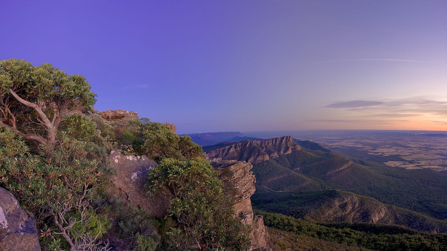
With this project, we aim to build a proof-of-concept for Machine Learning processing of camera sensor images using data gathered from sites in Gariwerd: hundreds of images (data) of different types of decay affecting rock heritage sites under the guidance of Traditional Owners.
Data will be manually labelled and categorised according to decay type by a locally employed Research Assistant. A database of these annotated images will be used to train open-source Machine Learning algorithms for identification of different types of decay to categorise them when airborne sensors are deployed over new sites. Calibration will be carried out throughout the training to ensure fidelity of the algorithms by computing classification and regression accuracy metrics on a sample test dataset.
This work will feed into future research being developed in partnership with Parks Victoria and Gariwerd’s Traditional Owners to create an affordable drone-based sensor tool to aid end-users to survey, monitor and better focus conservation work, while gaining hard evidence for advocacy to help protect their rock heritage.
| Investigators: | Dr Jonathan Kemp (CI) Ms Wendy Luke (PI) Mr Jake Goodes (PI) Dr Louise Shewan (PI) A/Prof. Kourosh Khoshelham (PI) |
| Organisations: | Managing Country Together Parks Victoria The University of Melbourne |